
Farmland Type Remote Sensing Classification Dataset
#Image Classification #Feature Extraction #Crop Monitoring #Agricultural Research #Environmental Assessment
- Records
- 20000 records
- Size
- 3.5G
- Format
- JPG/PNG/JSON
- Provider
 MOBIUSI INC
- Updated
- v1.02026-11-04
AI Analysis & Value Prop
The current agricultural industry faces issues with crop monitoring and management efficiency, especially in large-scale farmland monitoring and data analysis. Traditional methods are often time-consuming and costly. Although existing remote sensing technology has been applied to agriculture, the lack of accuracy and reliability in data classification results in suboptimal decision support systems. This dataset aims to solve the technical challenge of crop type recognition by providing high-quality farmland remote sensing images, meeting the practical needs of agricultural production and environmental monitoring. The data is captured by drones in different seasons and locations, ensuring coverage of diverse crop types and growth conditions. To ensure data quality, we adopted a multi-round annotation and expert review approach to guarantee consistency and accuracy of annotations. The data is stored in JPEG format, organized by time and location for convenient subsequent data analysis and model training.
Overview
Dataset Insights
Preview
Sample Examples
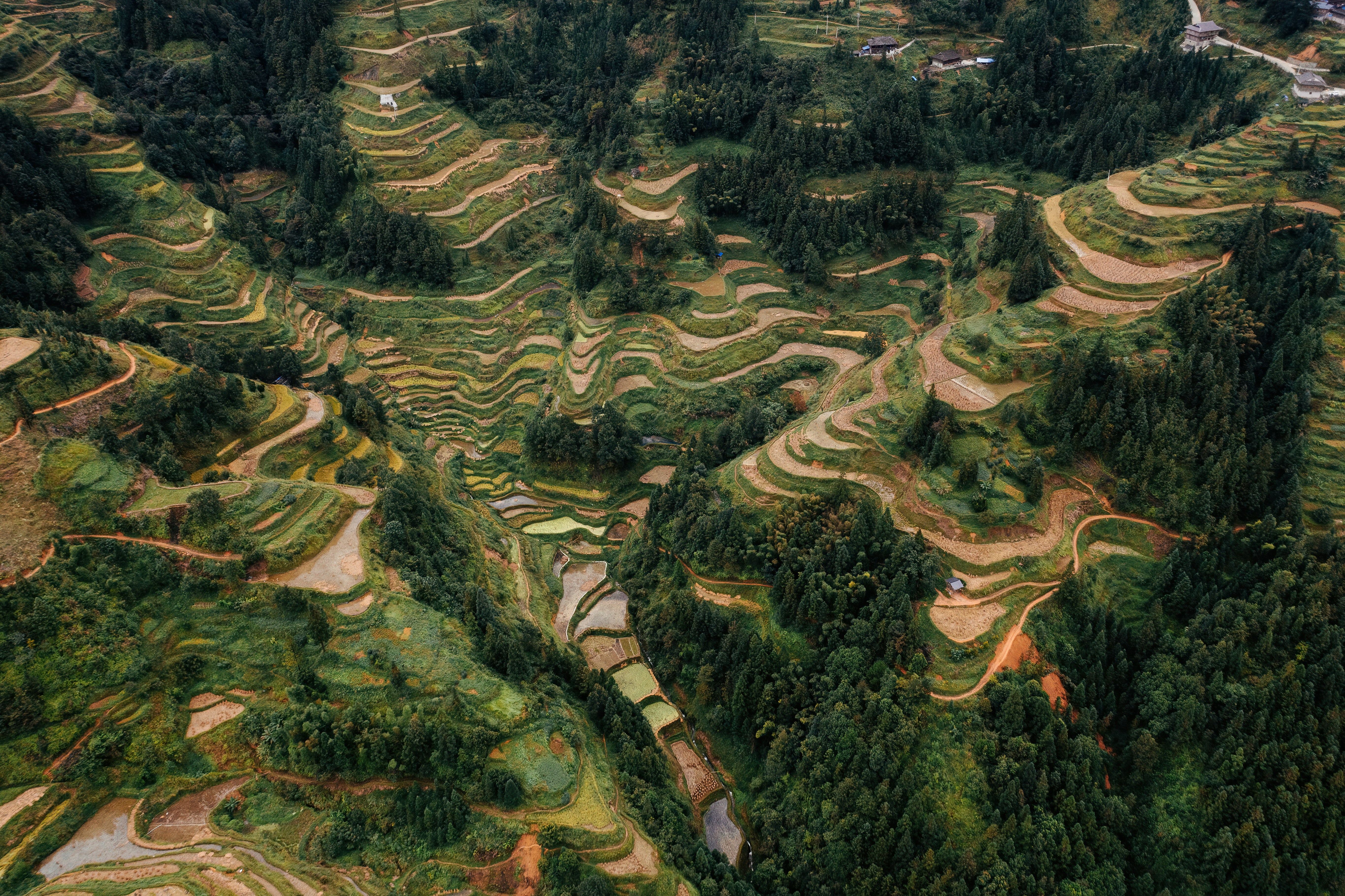
c789bc21**.jpg|5464*3640|7.44 MB

e8fd9e96**.jpg|3656*2740|4.29 MB

ed32b627**.jpg|5472*3648|6.90 MB


Schema
Technical Specifications
| Field | Type | Description |
|---|---|---|
| file_name | string | File name |
| quality | string | Resolution |
| crop_type | string | The type of crop predominantly cultivated in the image. |
| irrigation_status | string | The irrigation status of the farmland shown in the image, such as irrigated or non-irrigated. |
| soil_condition | string | The condition of the soil displayed in the image, e.g., dry or moist. |
| vegetation_index | float | A numerical representation of the health status of vegetation in the image. |
| land_cover_type | string | The type of land cover shown in the image, such as cropland, bare land, or forest. |
Trust
Compliance Statement
Authorization Type
Proprietary - Commercial AI Training License (No Redistribution)
Commercial Use
Requires exclusive subscription or authorization contract (monthly or per-invocation charging)
Privacy and Anonymization
No PII, no real company names, simulated scenarios follow industry standards
Compliance System
Compliant with China's Data Security Law / EU GDPR / supports enterprise data access logs
FAQ
Frequently Asked Questions
- What are the uses of this farmland type remote sensing classification dataset?
- This dataset can be used for agricultural monitoring and research. By classifying remote sensing images of farmland types, it helps analyze the distribution, area, and changes of different farmlands, supporting precision agriculture management.
- Why choose remote sensing images for farmland classification?
- Using remote sensing images for farmland classification provides the ability to obtain information over large areas, helping quickly identify and classify different types of farmland while saving labor and time costs.
- How to evaluate the accuracy of remote sensing image classification?
- Accuracy, recall, and F1-score are metrics that can be used to evaluate the classification model to determine the effectiveness and reliability of classification results.
- How does this dataset help improve agricultural yield?
- By classifying and monitoring farmland types, this dataset provides important information on land use and crop distribution, helping to optimize crop planting strategies and thus improve agricultural yield.
- Does this dataset support the implementation of smart agriculture?
- Yes, this dataset supports the development of smart agriculture by providing high-quality farmland classification information, aiding the advancement of automated and precise agricultural management.
Can't find the data you need?
Post a request and let data providers reach out to you.
Get this Dataset
High-quality data, ready for your next AI breakthrough.
Cite this Work
@dataset{Mobiusi2025,
  title={Farmland Type Remote Sensing Classification Dataset},
  author={MOBIUSI INC},
  year={2025},
  url={https://www.mobiusi.com/datasets/aa2b8631e1ec0d97a8cd7882c32b4f7d?dataset_scene_id=5},
  urldate={2025-09-15},
  keywords={Farmland Remote Sensing, Image Classification Dataset, Agricultural Dataset, Crop Monitoring, Remote Sensing Technology},
  version={1.0}
}
Using this in research? Please cite us.
placeholder
placeholder
placeholder
placeholder
placeholder
placeholder
placeholder