
Filter
Modality
Domain
Task
Scene
All Datasets
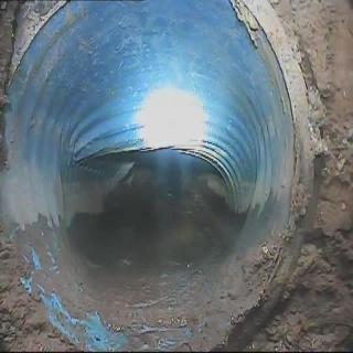
Urban Underground Drainage Network Visual Inspection and Defect Recognition Dataset
Supports underground drainage inspection and defect recognition with annotated pipe images and accompanying metadata.
0piece MOBIUSI INC
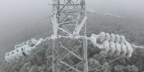
Transmission Line Icing Thickness Prediction Dataset
This dataset is used to predict the icing thickness of transmission lines, enhancing the monitoring and maintenance efficiency of the energy sector.
5JPGMOBIUSI INCConstruction Submittal Evidence Verification Dataset
Train models to verify construction conclusions more reliably by linking submittal content to project requirements and supporting evidence.
0JSONMOBIUSI INC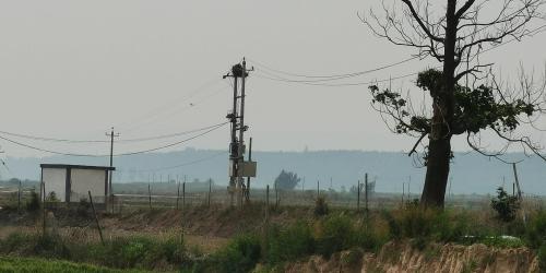
Transmission Line Vegetation Hazard Prediction Image Dataset
The Transmission Line Vegetation Hazard Prediction Image Dataset is used to enhance the efficiency of vegetation management around transmission lines in the energy sector.
2JPGMOBIUSI INCRooftop Solar Site Feasibility and Constraint Reasoning Q&A Dataset
Train models to assess rooftop solar feasibility and explain their conclusions by checking site conditions and project rules one constraint at a time.
0JSONMOBIUSI INC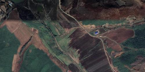
Open-Pit Mine Object Detection Dataset
Image and annotation records from open-pit mining environments support object detection training and intelligent mine-site monitoring.
0pieceMOBIUSI INCExcavation Site Robotic Arm Action Control Dataset
The excavation site robotic arm action control dataset enhances the efficiency of intelligent control in the construction and real estate industry.
2MP4MOBIUSI INCGround-Control Procedure Verification Dataset for Underground Mines
Train models to check underground mine procedures step by step for sequencing errors, unsuitable support measures, and omitted controls.
0JSONMOBIUSI INC
Safety Equipment Detection Dataset for Personnel in Construction Areas
This dataset is used for detecting the wearing status of safety equipment for personnel within construction areas.
5JPGMOBIUSI INCPre-Demolition Planning and Site Survey Retrieval Dataset
Explore planning steps and risk-control evidence for demolition preparation, and evaluate the accuracy and traceability of RAG retrieval.
0JSONMOBIUSI INCLignite Mine Safety Procedure Constraint Verification Benchmark Dataset
Check safety constraints step by step to pinpoint omitted controls, incorrect ordering, and conflicts in mine-work responses.
0JSONMOBIUSI INC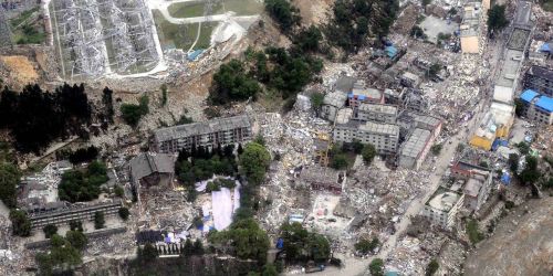
Post-Disaster Ruins Drone Aerial Damage Assessment Dataset
The Post-Disaster Ruins Drone Aerial Damage Assessment Dataset provides high-precision aerial imagery for building damage assessment.
7JPGMOBIUSI INCWork-at-Height Safety Observation Hazard Information Extraction Dataset
Extract hazards, exposed entities, and control measures from work-at-height observations to streamline the structuring of safety records.
0JSONMOBIUSI INCConstruction Payment Application Evidence Verification Dataset
Cross-check payment application claims against contract terms and site records to help models identify insufficient evidence, missing measurement grounds, and conflicting records.
0JSONMOBIUSI INCMining Drill Trajectory Calculation Q&A Dataset
Train models to calculate mining drillhole bottom coordinates and trajectory parameters with clear, unit-aware worked examples.
0JSONMOBIUSI INC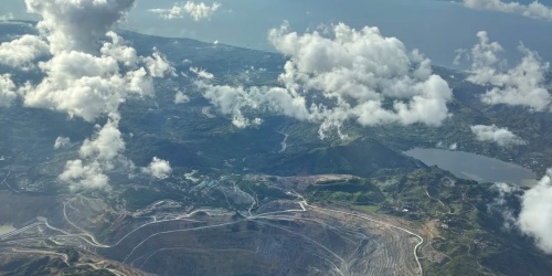
Open-pit Mine Boundary Detection Image Dataset
The open-pit mine boundary detection image dataset is used to improve the accuracy and efficiency of mine boundary identification.
0JPGMOBIUSI INC
Bridge Surface Damage Image Segmentation Dataset
The Bridge Surface Damage Image Segmentation Dataset is used to detect and segment various damages on bridge surfaces.
4JPGMOBIUSI INCTechnical Rope Rescue Incident and Failure Analysis Report Dataset
Combine diverse rescue records with failure analyses to help models produce evidence-based, professional incident reviews.
0JSONMOBIUSI INCStructural Stability and Demolition Sequence Retrieval Dataset
Connect queries with supporting evidence on key demolition safety topics, including work sequence, structural risks, and stability measures.
0JSONMOBIUSI INC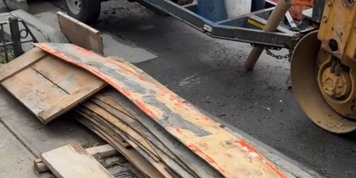
Construction Site Material Stacking Encroachment Detection Image Dataset
This dataset is used to detect the encroachment of roads by material stacking at construction sites.
2JPGMOBIUSI INC
